
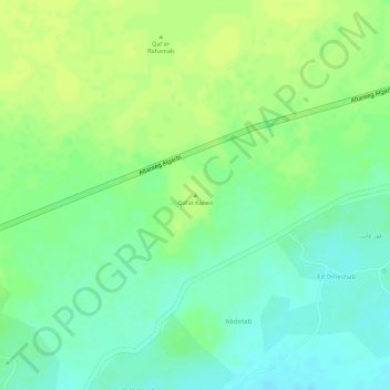
Qal’at Kanen topographic map
Interactive map
Click on the map to display elevation.
About this map
Name: Qal’at Kanen topographic map, elevation, terrain.
Location: Qal’at Kanen, Al Matamma, Nil-Fluss, Sudan (16.75975 33.43765 16.75985 33.43775)
Average elevation: 1,214 ft
Minimum elevation: 1,181 ft
Maximum elevation: 1,234 ft