
Magoura topographic map
Interactive map
Click on the map to display elevation.
About this map
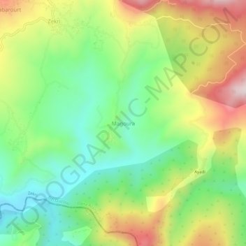
Name: Magoura topographic map, elevation, terrain.
Location: Magoura, Zekri, Daïra Azazga, Tizi Ouzou, 06021, Algérie (36.74373 4.58358 36.78373 4.62358)
Average elevation: 2,129 ft
Minimum elevation: 1,453 ft
Maximum elevation: 3,120 ft