
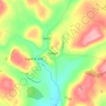
Cribyn topographic map
Interactive map
Click on the map to display elevation.
About this map
Name: Cribyn topographic map, elevation, terrain.
Location: Cribyn, Ceredigion, Wales, SA48 7NB, United Kingdom (52.11856 -4.18066 52.15856 -4.14066)
Average elevation: 640 ft
Minimum elevation: 420 ft
Maximum elevation: 879 ft