
Щигры topographic map
Interactive map
Click on the map to display elevation.
About this map
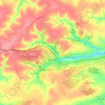
Name: Щигры topographic map, elevation, terrain.
Location: Щигры, Курская область, Центральный федеральный округ, Россия (51.85454 36.85445 51.90283 37.05281)
Average elevation: 751 ft
Minimum elevation: 574 ft
Maximum elevation: 876 ft