Geolocate

Athens topographic map

Click on the map to display elevation.

About this map

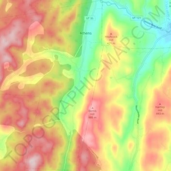
Name: Athens topographic map, elevation, terrain.

Location: Athens, Windham County, Vermont, United States (43.07088 -72.64196 43.14821 -72.55675)

Average elevation: 1,125 ft

Minimum elevation: 476 ft

Maximum elevation: 1,722 ft

Vermont trails, hiking, mountain biking, running and outdoor activities

Gear up for your next adventure:

🔌USB Car Charger - Car charger for on‑the‑go power needs
📡GPS Antenna Upgrade - Enhance GPS reception in remote terrain
👟Trail Running Shoes - Lightweight shoes for trail runners
🏥Hiking First Aid Kits - Comprehensive medical kits for remote trail injuries
🔭Stargazing Telescopes - Perfect for camping in low-light pollution areas shown on maps

As an Amazon Associate, this site earns from qualifying purchases at no extra cost to you.