
Make a donation
Gear up for your next adventure:
As an Amazon Associate, this site earns from qualifying purchases at no extra cost to you.
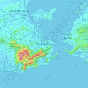
Rio de Janeiro topographic map
Click on the map to display elevation.
Make a donation
Gear up for your next adventure:
As an Amazon Associate, this site earns from qualifying purchases at no extra cost to you.
Rio de Janeiro
Temperature also varies according to elevation, distance from the coast, and type of vegetation or land use. During the winter, cold fronts and dawn/morning sea breezes bring mild temperatures; cold fronts, the Intertropical Convergence Zone (in the form of winds from the Amazon Forest), the strongest sea-borne winds (often from an extratropical cyclone) and summer evapotranspiration bring showers or storms. Thus the monsoon-like climate has dry and mild winters and springs, and very wet and warm summers and autumns. As a result, temperatures over 40 °C (104 °F), that may happen about year-round but are much more common during the summer, often mean the actual temperature feeling is over 50 °C (122 °F), when there is little wind and the relative humidity percentage is high.
Make a donation
Gear up for your next adventure:
As an Amazon Associate, this site earns from qualifying purchases at no extra cost to you.
About this map
Name: Rio de Janeiro topographic map, elevation, terrain.
Average elevation: 131 ft
Minimum elevation: -7 ft
Maximum elevation: 3,107 ft
Make a donation
Gear up for your next adventure:
As an Amazon Associate, this site earns from qualifying purchases at no extra cost to you.