
Armutalan topographic map
Interactive map
Click on the map to display elevation.
About this map
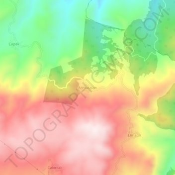
Name: Armutalan topographic map, elevation, terrain.
Location: Armutalan, Zile, Tokat, Black Sea Region, Turkey (40.18117 36.02567 40.22117 36.06567)
Average elevation: 3,665 ft
Minimum elevation: 2,625 ft
Maximum elevation: 4,570 ft