
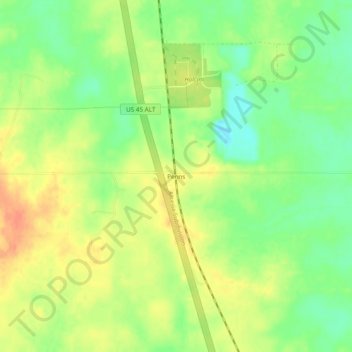
Penns topographic map
Click on the map to display elevation.
About this map
Name: Penns topographic map, elevation, terrain.
Location: Penns, Lowndes County, Mississippi, 39743, United States (33.33234 -88.65588 33.37234 -88.61588)
Average elevation: 276 ft
Minimum elevation: 203 ft
Maximum elevation: 341 ft
Lowndes County trails, hiking, mountain biking, running and outdoor activities
Other topographic maps
Click on a map to view its topography, its elevation and its terrain.