
Auderghem - Oudergem topographic map
Interactive map
Click on the map to display elevation.
About this map
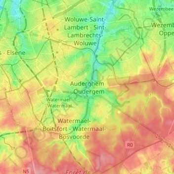
Name: Auderghem - Oudergem topographic map, elevation, terrain.
Location: Auderghem - Oudergem, Brussels-Capital, 1160, Belgium (50.77717 4.38709 50.85717 4.46709)
Average elevation: 292 ft
Minimum elevation: 121 ft
Maximum elevation: 459 ft