
Bulange topographic map
Interactive map
Click on the map to display elevation.
About this map
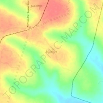
Name: Bulange topographic map, elevation, terrain.
Location: Bulange, Kamuli, Eastern Region, Ouganda (0.86295 33.25487 0.90295 33.29487)
Average elevation: 3,615 ft
Minimum elevation: 3,507 ft
Maximum elevation: 3,707 ft