
Nyishog Gewog topographic map
Interactive map
Click on the map to display elevation.
About this map
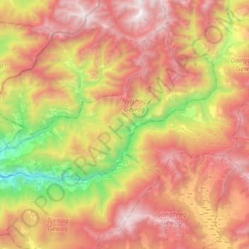
Name: Nyishog Gewog topographic map, elevation, terrain.
Location: Nyishog Gewog, Wangdue Phodrang District, Bhutan (27.49591 89.93967 27.60324 90.18527)
Average elevation: 9,423 ft
Minimum elevation: 4,636 ft
Maximum elevation: 13,819 ft