
Tazem topographic map
Interactive map
Click on the map to display elevation.
About this map
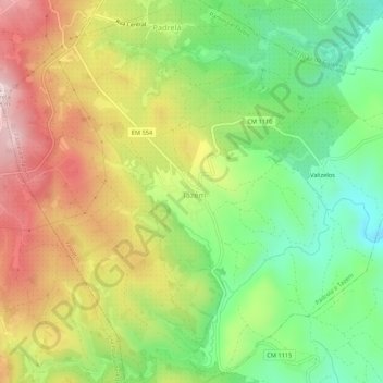
Name: Tazem topographic map, elevation, terrain.
Location: Tazem, Padrela e Tazem, Vila Real, Nord, Portugal (41.53156 -7.51019 41.57156 -7.47019)
Average elevation: 3,028 ft
Minimum elevation: 2,434 ft
Maximum elevation: 3,757 ft