
Karaman Mahallisi topographic map
Interactive map
Click on the map to display elevation.
About this map
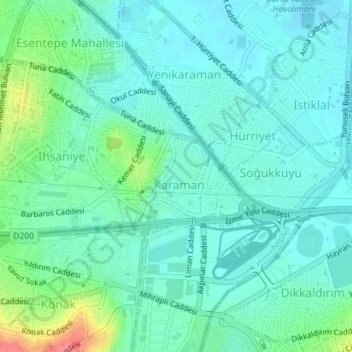
Name: Karaman Mahallisi topographic map, elevation, terrain.
Location: Karaman Mahallisi, Nilüfer, Bursa, Marmara Region, Turkey (40.21207 28.98952 40.21977 29.00435)
Average elevation: 387 ft
Minimum elevation: 328 ft
Maximum elevation: 587 ft
Other topographic maps
Click on a map to view its topography, its elevation and its terrain.