
Yamasá topographic map
Interactive map
Click on the map to display elevation.
About this map
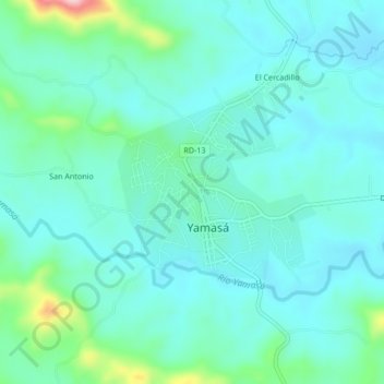
Name: Yamasá topographic map, elevation, terrain.
Location: Yamasá, Monte Plata, República Dominicana (18.75350 -70.04663 18.79350 -70.00663)
Average elevation: 269 ft
Minimum elevation: 144 ft
Maximum elevation: 823 ft