
دير صمادية شمالي topographic map
Interactive map
Click on the map to display elevation.
About this map
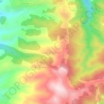
Name: دير صمادية شمالي topographic map, elevation, terrain.
Location: دير صمادية شمالي, Ajlun, Jordan (32.32505 35.65254 32.36505 35.69254)
Average elevation: 2,119 ft
Minimum elevation: 1,362 ft
Maximum elevation: 2,831 ft