
Puerto Villamil topographic map
Interactive map
Click on the map to display elevation.
About this map
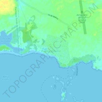
Name: Puerto Villamil topographic map, elevation, terrain.
Location: Puerto Villamil, Cantón Isabela, Galápagos, Ecuador (-0.97611 -90.98559 -0.93611 -90.94559)
Average elevation: 16 ft
Minimum elevation: -3 ft
Maximum elevation: 66 ft