
Al Qalaa topographic map
Interactive map
Click on the map to display elevation.
About this map
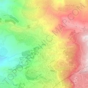
Name: Al Qalaa topographic map, elevation, terrain.
Location: Al Qalaa, Baabda District, Mount Lebanon Governorate, Lebanon (33.81898 35.71116 33.85898 35.75116)
Average elevation: 3,776 ft
Minimum elevation: 2,270 ft
Maximum elevation: 5,285 ft