
Mlowo topographic map
Interactive map
Click on the map to display elevation.
About this map
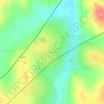
Name: Mlowo topographic map, elevation, terrain.
Location: Mlowo, Mbozi, Mbeya, Southern Highlands Zone, Tanzania (-9.03402 32.98206 -8.99402 33.02206)
Average elevation: 5,174 ft
Minimum elevation: 5,059 ft
Maximum elevation: 5,344 ft