
同心村 topographic map
Interactive map
Click on the map to display elevation.
About this map
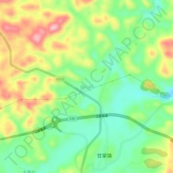
Name: 同心村 topographic map, elevation, terrain.
Location: 同心村, 黔西市, 毕节市, 贵州省, 中国 (27.05843 106.10405 27.09843 106.14405)
Average elevation: 3,940 ft
Minimum elevation: 3,681 ft
Maximum elevation: 4,314 ft
Other topographic maps
Click on a map to view its topography, its elevation and its terrain.