
Grand Serre topographic map
Interactive map
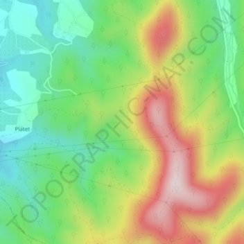
Click on the map to display elevation.
About this map
Name: Grand Serre topographic map, elevation, terrain.
Average elevation: 1,033 ft
Minimum elevation: 459 ft
Maximum elevation: 1,857 ft
Other topographic maps
Click on a map to view its topography, its elevation and its terrain.
Espenel
France > Auvergne-Rhône-Alpes > Drôme > Mirmande
Espenel, Mirmande, Die, Drôme, Auvergne-Rhône-Alpes, France métropolitaine, 26270, France
Average elevation: 1,106 ft
Les Petits Rigauds
France > Auvergne-Rhône-Alpes > Drôme > Mirmande
Les Petits Rigauds, Mirmande, Die, Drôme, Auvergne-Rhône-Alpes, France métropolitaine, 26270, France
Average elevation: 1,060 ft