
Clappana topographic map
Interactive map
Click on the map to display elevation.
About this map
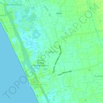
Name: Clappana topographic map, elevation, terrain.
Location: Clappana, Karunagappally, Kollam District, Kerala, 690525, India (9.08068 76.47431 9.12068 76.51431)
Average elevation: 16 ft
Minimum elevation: 0 ft
Maximum elevation: 33 ft
Other topographic maps
Click on a map to view its topography, its elevation and its terrain.
Oachira
India > Kerala > Karunagappally > Oachira
Oachira, Karunagappally, Kollam, Kerala, 690526, India
Average elevation: 33 ft
Karunagapally
India > Kerala > Karunagappally
Karunagapally, Karunagappally, Kollam, Kerala, 690518, India
Average elevation: 26 ft
Chavara
India > Kerala > Karunagappally
Chavara, Karunagappally, Kollam, Kerala, 698582, India
Average elevation: 13 ft