
Grömitz topographic map
Interactive map
Click on the map to display elevation.
About this map
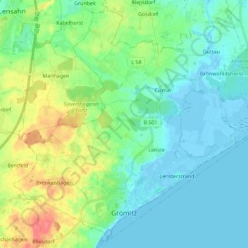
Name: Grömitz topographic map, elevation, terrain.
Location: Grömitz, Ostholstein, Schleswig-Holstein, 23743, Allemagne (54.13286 10.88730 54.22270 11.04840)
Average elevation: 49 ft
Minimum elevation: -26 ft
Maximum elevation: 187 ft