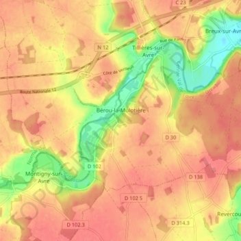
Bérou-la-Mulotière topographic map
Interactive map
Click on the map to display elevation.
About this map
Name: Bérou-la-Mulotière topographic map, elevation, terrain.
Average elevation: 538 ft
Minimum elevation: 397 ft
Maximum elevation: 610 ft

Click on the map to display elevation.
Name: Bérou-la-Mulotière topographic map, elevation, terrain.
Average elevation: 538 ft
Minimum elevation: 397 ft
Maximum elevation: 610 ft