
Koningshooikt topographic map
Interactive map
Click on the map to display elevation.
About this map
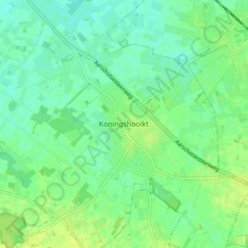
Name: Koningshooikt topographic map, elevation, terrain.
Location: Koningshooikt, Lier, Antwerpen, Vlaanderen, 2500, België (51.07656 4.58972 51.11656 4.62972)
Average elevation: 30 ft
Minimum elevation: 7 ft
Maximum elevation: 52 ft
De Itterbeek is een kleine beek die uitmondt in de Nete ter hoogte van Duffel en zorgde in 1998 voor overstromingen.