
Taman Kalong topographic map
Interactive map
Click on the map to display elevation.
About this map
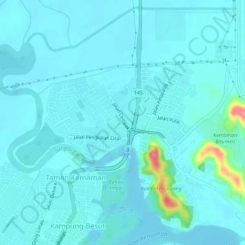
Name: Taman Kalong topographic map, elevation, terrain.
Location: Taman Kalong, Kemaman District, Terengganu, 24000, Malaysia (4.24032 103.41270 4.28032 103.45270)
Average elevation: 30 ft
Minimum elevation: -20 ft
Maximum elevation: 282 ft