
Grijó topographic map
Interactive map
Click on the map to display elevation.
About this map
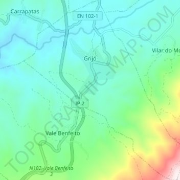
Name: Grijó topographic map, elevation, terrain.
Location: Grijó, Macedo de Cavaleiros, Distrito de Bragança, Portugal (41.47173 -6.99859 41.51721 -6.94219)
Average elevation: 2,044 ft
Minimum elevation: 1,568 ft
Maximum elevation: 3,835 ft