
Patamban topographic map
Interactive map
Click on the map to display elevation.
About this map
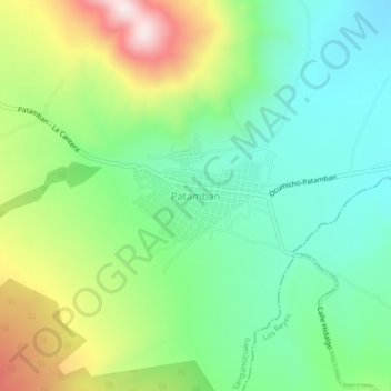
Name: Patamban topographic map, elevation, terrain.
Location: Patamban, Tangancícuaro, Michoacán de Ocampo, México (19.78326 -102.31122 19.82326 -102.27122)
Average elevation: 7,290 ft
Minimum elevation: 6,706 ft
Maximum elevation: 8,422 ft