
Harding topographic map
Interactive map
Click on the map to display elevation.
About this map
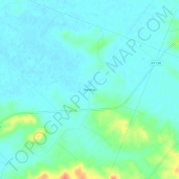
Name: Harding topographic map, elevation, terrain.
Location: Harding, Union County, Kentucky, United States of America (37.62810 -88.00558 37.66810 -87.96558)
Average elevation: 394 ft
Minimum elevation: 361 ft
Maximum elevation: 522 ft