
Tresviso topographic map
Interactive map
Click on the map to display elevation.
About this map
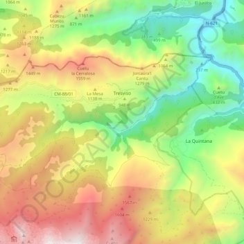
Name: Tresviso topographic map, elevation, terrain.
Location: Tresviso, Liébana, Cantabria, Spain (43.22816 -4.73095 43.26886 -4.63188)
Average elevation: 3,146 ft
Minimum elevation: 200 ft
Maximum elevation: 6,827 ft