
Nantimont topographic map
Interactive map
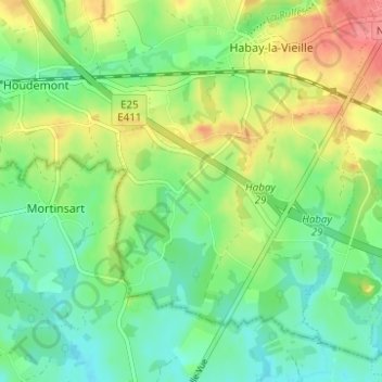
Click on the map to display elevation.
About this map
Name: Nantimont topographic map, elevation, terrain.
Location: Nantimont, Habay, Luxembourg, Wallonia, 6723, Belgium (49.68777 5.58941 49.72777 5.62941)
Average elevation: 1,181 ft
Minimum elevation: 1,096 ft
Maximum elevation: 1,322 ft