
Serra do Poio topographic map
Interactive map
Click on the map to display elevation.
About this map
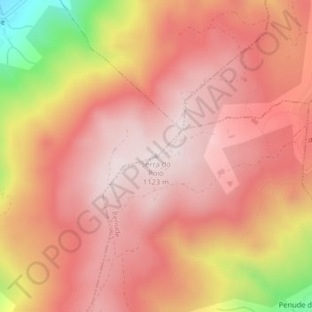
Name: Serra do Poio topographic map, elevation, terrain.
Average elevation: 3,133 ft
Minimum elevation: 1,808 ft
Maximum elevation: 3,678 ft
Other topographic maps
Click on a map to view its topography, its elevation and its terrain.
Guardais
Portugal > Viseu > São Martinho de Mouros
Guardais, São Martinho de Mouros, Resende, Viseu, 4660-362, Portugal
Average elevation: 2,096 ft