
Byron topographic map
Interactive map
Click on the map to display elevation.
About this map
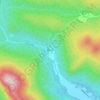
Name: Byron topographic map, elevation, terrain.
Location: Byron, Oxford County, Maine, United States of America (44.70234 -70.65110 44.74234 -70.61110)
Average elevation: 1,302 ft
Minimum elevation: 751 ft
Maximum elevation: 2,382 ft