
La Blaquererie topographic map
Interactive map
Click on the map to display elevation.
About this map
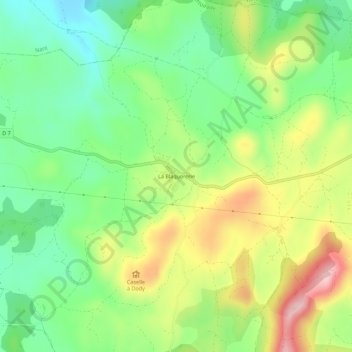
Name: La Blaquererie topographic map, elevation, terrain.
Average elevation: 2,523 ft
Minimum elevation: 2,264 ft
Maximum elevation: 2,913 ft
Other topographic maps
Click on a map to view its topography, its elevation and its terrain.
Puech Grand
France > Occitanie > Aveyron > La Couvertoirade
Puech Grand, La Couvertoirade, Millau, Aveyron, Occitanie, France métropolitaine, 12230, France
Average elevation: 2,608 ft
Les Infruts
France > Occitanie > Aveyron > La Couvertoirade
Les Infruts, La Couvertoirade, Millau, Aveyron, Occitanie, France métropolitaine, 12230, France
Average elevation: 2,520 ft