
琉璃河 topographic map
Interactive map
Click on the map to display elevation.
About this map
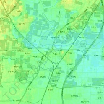
Name: 琉璃河 topographic map, elevation, terrain.
Location: 琉璃河, 房山区, 北京市, 中国 (39.55819 115.98207 39.63819 116.06207)
Average elevation: 112 ft
Minimum elevation: 85 ft
Maximum elevation: 144 ft