
Indrakila topographic map
Interactive map
Click on the map to display elevation.
About this map
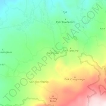
Name: Indrakila topographic map, elevation, terrain.
Location: Indrakila, Majalengka Regency, West Java, Indonesia (-6.85686 108.33005 -6.81686 108.37005)
Average elevation: 2,067 ft
Minimum elevation: 1,106 ft
Maximum elevation: 3,645 ft