
Aïn Laloui topographic map
Interactive map
Click on the map to display elevation.
About this map
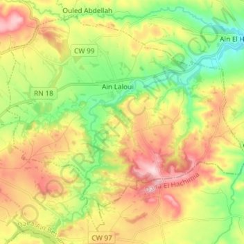
Name: Aïn Laloui topographic map, elevation, terrain.
Location: Aïn Laloui, Daïra Aïn Bessam, Bouira, 10032, Algérie (36.26408 3.69330 36.34935 3.81425)
Average elevation: 2,221 ft
Minimum elevation: 1,795 ft
Maximum elevation: 2,753 ft