Geolocate

Reserva topographic map

Click on the map to display elevation.

About this map

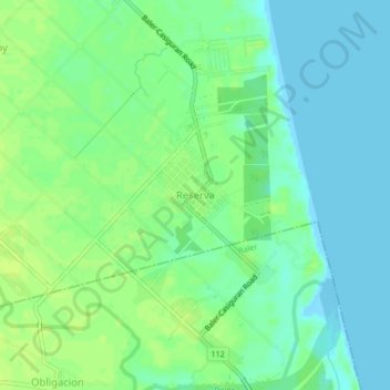
Name: Reserva topographic map, elevation, terrain.

Location: Reserva, Baler, Aurora, Central Luzon, 3203, Philippines (15.77971 121.52210 15.81971 121.56210)

Average elevation: 23 ft

Minimum elevation: -10 ft

Maximum elevation: 49 ft

Other topographic maps

Click on a map to view its topography, its elevation and its terrain.

Diguisit Beach

Philippines > Aurora > Baler

Average elevation: 131 ft

Gear up for your next adventure:

📻Weather Alert Radios - Stay informed of storm risks while off-the-grid
🛶Inflatable Kayak - Portable kayak for rivers, lakes, and expeditions
🦟Ultrasonic Repellers - Create a bug-free zone at your camp or rest stop
🧯Emergency Survival Kit - All‑in‑one survival essentials for the backcountry
🧦Merino Wool Socks - Moisture-wicking, blister-preventing socks for long treks

As an Amazon Associate, this site earns from qualifying purchases at no extra cost to you.