
Ysyk-Ata River topographic map
Interactive map
Click on the map to display elevation.
About this map
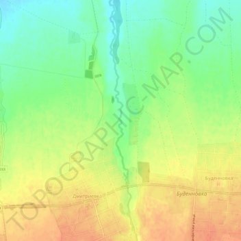
Name: Ysyk-Ata River topographic map, elevation, terrain.
Average elevation: 2,385 ft
Minimum elevation: 2,310 ft
Maximum elevation: 2,454 ft
Other topographic maps
Click on a map to view its topography, its elevation and its terrain.
Kant
Kyrgyzstan > Chuy Region > Ysyk-Ata District
Kant, Ysyk-Ata District, Chuy Region, 725000, Kyrgyzstan
Average elevation: 2,428 ft