
塔山 topographic map
Interactive map
Click on the map to display elevation.
About this map
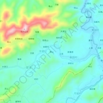
Name: 塔山 topographic map, elevation, terrain.
Location: 塔山, 平埂村, 仙岩镇, 玉山县, 上饶市, 江西省, 中国 (28.50314 118.37063 28.54314 118.41063)
Average elevation: 771 ft
Minimum elevation: 479 ft
Maximum elevation: 1,627 ft