
Tankstation: Giethorn topographic map
Interactive map
Click on the map to display elevation.
About this map
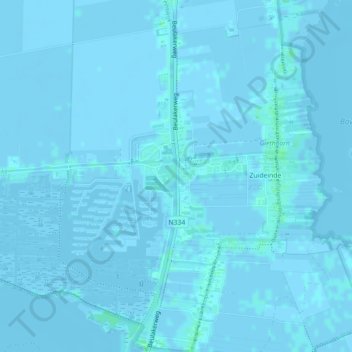
Name: Tankstation: Giethorn topographic map, elevation, terrain.
Average elevation: 0 ft
Minimum elevation: -10 ft
Maximum elevation: 13 ft
Other topographic maps
Click on a map to view its topography, its elevation and its terrain.
Zuideinde
Nederland > Overijssel > Giethoorn
Zuideinde, Giethoorn, Steenwijkerland, Overijssel, Nederland, 8355 BV, Nederland
Average elevation: 0 ft