Geolocate

Tomolin topographic map

Click on the map to display elevation.

👉 Easily get elevation data in JSON, GeoTIFF and KML formats using Elevation API
Thank you for supporting this site ❤️
Make a donation

About this map

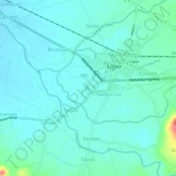
Name: Tomolin topographic map, elevation, terrain.

Location: Tomolin, Albay, Bicol Region, 4504, Philippines (13.21531 123.51041 13.25531 123.55041)

Average elevation: 154 ft

Minimum elevation: 115 ft

Maximum elevation: 361 ft

Other topographic maps

Click on a map to view its topography, its elevation and its terrain.

Rapu-Rapu

Philippines > Albay

Average elevation: 59 ft

Malilipot

Philippines > Albay

Average elevation: 860 ft

Peñaranda Park

Philippines > Albay > Legazpi > Baño

Average elevation: 121 ft

Gear up for your next adventure:

🗺️Topographic Maps - Detailed topo maps for hiking, exploring and outdoor navigation
🪑Portable Camp Table - Compact table for campsite meals
🔋Solar Power Banks - Keep your GPS and phone charged in remote wilderness areas
🧦Hiking Socks - Comfortable socks to prevent blisters on long hikes
🧣Merino Neck Gaiters - Multi-functional headwear for wind and sun protection

As an Amazon Associate, this site earns from qualifying purchases at no extra cost to you.