
Glandorf topographic map
Interactive map
Click on the map to display elevation.
About this map
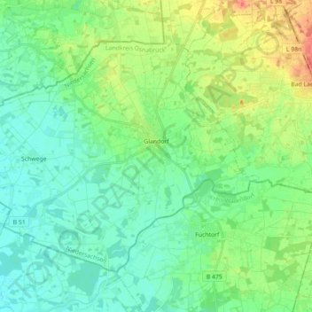
Name: Glandorf topographic map, elevation, terrain.
Location: Glandorf, Landkreis Osnabrück, Nedersaksen, 49219, Duitsland (52.03589 7.88497 52.11651 8.06142)
Average elevation: 223 ft
Minimum elevation: 177 ft
Maximum elevation: 331 ft