
Perímetro Urbano Ibagué topographic map
Interactive map
Click on the map to display elevation.
About this map
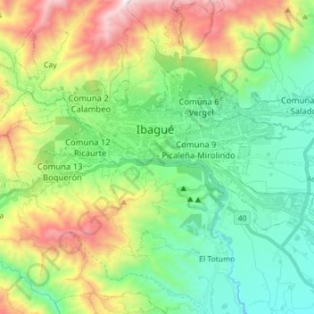
Name: Perímetro Urbano Ibagué topographic map, elevation, terrain.
Location: Perímetro Urbano Ibagué, Ibagué, Centro, Tolima, Colombia (4.38749 -75.26648 4.46555 -75.12564)
Average elevation: 4,416 ft
Minimum elevation: 2,635 ft
Maximum elevation: 8,153 ft