
Tagilde topographic map
Interactive map
Click on the map to display elevation.
About this map
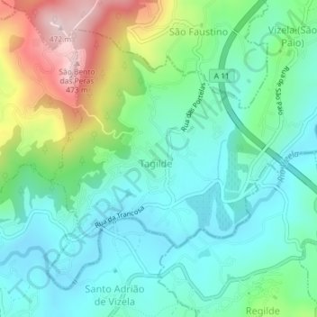
Name: Tagilde topographic map, elevation, terrain.
Location: Tagilde, Vizela, Tagilde, Braga, 4815-596, Portugal (41.36662 -8.29087 41.38878 -8.26694)
Average elevation: 741 ft
Minimum elevation: 427 ft
Maximum elevation: 1,539 ft