
Kabul Pur Mangar topographic map
Interactive map
Click on the map to display elevation.
About this map
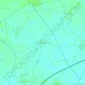
Name: Kabul Pur Mangar topographic map, elevation, terrain.
Location: Kabul Pur Mangar, Ballabgarh, Faridabad, Haryana, India (28.27149 77.21944 28.31149 77.25944)
Average elevation: 643 ft
Minimum elevation: 633 ft
Maximum elevation: 659 ft