
Oshima topographic map
Interactive map
Click on the map to display elevation.
About this map
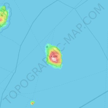
Name: Oshima topographic map, elevation, terrain.
Location: Oshima, Oshima Subprefecture, Tokyo, 100-0103, Japan (34.49824 139.18023 34.99846 139.78484)
Average elevation: 33 ft
Minimum elevation: 0 ft
Maximum elevation: 2,428 ft