
Tixter topographic map
Interactive map
Click on the map to display elevation.
About this map
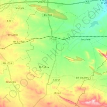
Name: Tixter topographic map, elevation, terrain.
Location: Tixter, Daïra Ain Taghrout, Bordj Bou Arreridj, Algérie (35.97017 5.04089 36.08919 5.19660)
Average elevation: 3,261 ft
Minimum elevation: 2,867 ft
Maximum elevation: 3,894 ft
Tixter doit son nom à un oued qui prend naissance à trois km au sud-est. La ville se situe à une altitude moyenne de 1 100 m.