
Belsentes (Les Nonières) topographic map
Interactive map
Click on the map to display elevation.
About this map
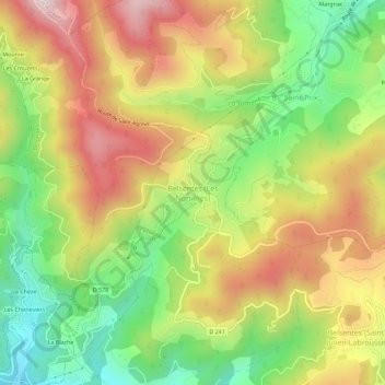
Name: Belsentes (Les Nonières) topographic map, elevation, terrain.
Average elevation: 2,290 ft
Minimum elevation: 1,355 ft
Maximum elevation: 3,304 ft