
New Columbus topographic map
Interactive map
Click on the map to display elevation.
About this map
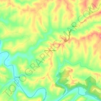
Name: New Columbus topographic map, elevation, terrain.
Location: New Columbus, Owen County, Kentucky, United States (38.43757 -84.66522 38.47757 -84.62522)
Average elevation: 817 ft
Minimum elevation: 692 ft
Maximum elevation: 935 ft