
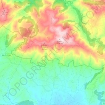
Vilapedre topographic map
Interactive map
Click on the map to display elevation.
About this map
Name: Vilapedre topographic map, elevation, terrain.
Location: Vilapedre, Vilalba, Tierra Chá, Lugo, Galicia, España (43.37452 -7.70796 43.44779 -7.62554)
Average elevation: 2,073 ft
Minimum elevation: 1,512 ft
Maximum elevation: 2,966 ft